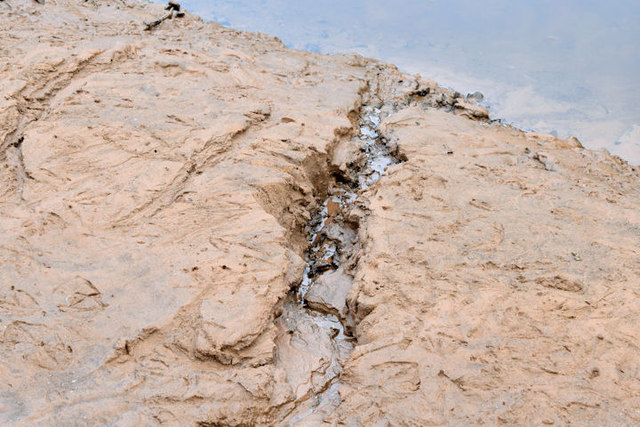
J3470 : The lowered Lagan at the Lagan Meadows, Belfast (November 2014)
taken 10 years ago, 3 km from Belfast, Co Antrim, Northern Ireland
Stranmillis Weir, close to the Lockview Road, is currently the limit of navigation on the Lagan. There was a plan to replace it and re-open the Lagan Navigation to Lisburn A further plan envisages a new cut from Lisburn to Lough Neagh.
There is the following planning permission (25 September 2017 application on 15 December 2015) LA04/2016/0041/F Lagan gateway project includes: the provision of a new boat lock at Stranmillis to allow the passage of boats past the weir, new footbridge and path linking Annadale embankment with Stranmillis and paths to Belvoir Park. Works involve working in the river Lagan near an existing weir and fish pass and constructing a footbridge near a scheduled monument area (historical lock) (Environmental Statement received) Site located at the weir at Stranmillis near Belfast Boat Club BT9 5FJ.
This approval does not envisage the removal of the existing weir.
The Lagan Meadows is a public park of 120 acres administered by Belfast City Council. Its more than that however. In practice its a piece of completely rural countryside preserved in the middle of the Stranmillis and Malone areas of suburban south Belfast not far from the Lagan towpath. Although undulating most of it is fairly easy going but unassisted wheelchair users might have difficulty in some places.
There is a proposal to re-open part of the former Lagan navigation (the River Lagan and the long-closed Lagan canal) by building a new lock at Stranmillis, just upstream from the existing weir. The scheme also includes a new footbridge across the Lagan and extensive improvements to the surrounding area.
The following planning permission (25 September 2017) applies LA04/2016/0041/F Lagan gateway project includes: the provision of a new boat lock at Stranmillis to allow the passage of boats past the weir, new footbridge and path linking Annadale embankment with Stranmillis and paths to Belvoir Park. Works involve working in the river Lagan near scheduled monument area (historical lock) (Environmental Statement received) Site located at the weir at Stranmillis near Belfast Boat Club BT9 5FJ.
The photographs submitted by me appear as a matter of record only. I have no connection with any campaign or official body. I cannot enter into correspondence.
Two links - the Lagan Navigation Trust Linkand the Inland Waterways Association of Ireland (IWAI) Link
The history of the canal may be found in The Canals of the North of Ireland by WA McCutchen, David & Charles (1965).
Description updated 10 February 2018. The following is an extract from Notice to River Users no 04/18 Notice is hereby given that the first phase of the Stranmillis Gateway project will commence in the river on 30th January 2018 . . . . The Stranmillis Gateway project involves refurbishment of Stranmillis Weir, construction of a new boat lock to the RHs of the weir, construction of a path linking Annadale embankment with Stranmillis and construction of a pedestrian footbridge upstream of the weir. The first phase of the project will involve carrying out underwater repairs to the base of the weir and refurbishing the weir gates and control systems. The contractors work method will involve building a stone causeway into the river parallel to the base of the weir. To enable the contractor to carry out the work efficiently it will be necessary to lower the river below the normal minimum impoundment level on occasions. Normal water based activities such as rowing will not be possible when water levels are reduced, however every effort will be made to keep lowerings to a minimum and where possible overnight. River users are advised that as each one of the pen weir gates is refurbished it will become inoperable for a period and there will be a potential for increased velocity and different flow patterns through the other gates. Construction of the stone causeway will commence on 30th January and river users are advised to keep well clear of the contractors work area and heed any information signage. When river lowerings become necessary river notices will be issued in advance.
- Grid Square
- J3470, 242 images (more nearby 🔍)
- Photographer
- Albert Bridge (more nearby)
- Date Taken
- Thursday, 20 November, 2014 (more nearby)
- Submitted
- Thursday, 20 November, 2014
- Subject Location
-
Irish:
 J 340 705 [100m precision]
WGS84: 54:33.9449N 5:55.6778W - Camera Location
-
Irish: J 340 705
- View Direction
- North-northeast (about 22 degrees)