2013
ST3389 : Firbank Avenue Bridge, M4
taken 12 years ago, near to Christchurch, Newport/Casnewydd, Wales
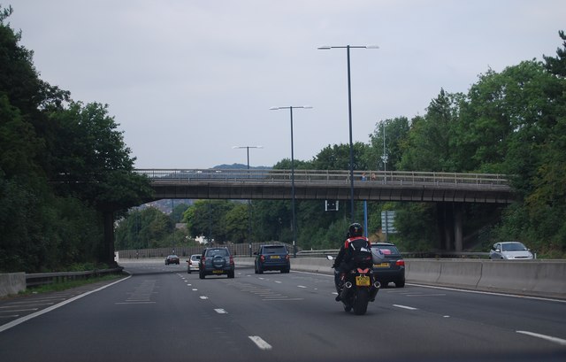
Firbank Avenue Bridge, M4
The M4 is 190 miles long and runs from London to South Wales. Major centres close to the motorway include Reading, Swindon, Bristol, Newport, Cardiff and Swansea. The motorway was constructed between 1961 and 1996. The M4 originally crossed the first Severn Road Bridge. It has now been diverted to use the Second Severn Crossing and the motorway over the older bridge has been renumbered as M48.
Wikipedia: Link
See other images of M4 Motorway
Wikipedia: Link
See other images of M4 Motorway
TIP: Click the map for more Large scale mapping
- Grid Square
- ST3389, 90 images (more nearby 🔍)
- Photographer
- N Chadwick (more nearby)
- Date Taken
- Sunday, 25 August, 2013 (more nearby)
- Submitted
- Thursday, 26 September, 2013
- Subject Location
-
OSGB36:
 ST 3325 8913 [10m precision]
WGS84: 51:35.8225N 2:57.9039W - Camera Location
-
OSGB36: ST 3329 8905
- View Direction
- North-northwest (about 337 degrees)