2013
TQ4036 : Barley field
taken 12 years ago, near to Ashurst Wood, West Sussex, England
This is 1 of 2 images, with title starting with Barley in this square
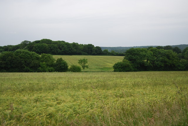
Barley field
Barley is a cereal derived from the grass Hordeum vulgare.
Barley has many uses. It is a major animal fodder, the base for various health foods and in producing malt for brewing beer and other Alcoholic beverages. It can be used in cooking and in bread making.
It has a long history of human use dating back to Neolithic times and probably originated in the Middle East
For more detail see Link
See other images of Barley
TIP: Click the map for more Large scale mapping
- Grid Square
- TQ4036, 83 images (more nearby 🔍)
- Photographer
- N Chadwick (more nearby)
- Date Taken
- Thursday, 27 June, 2013 (more nearby)
- Submitted
- Wednesday, 25 September, 2013
- Subject Location
-
OSGB36:
 TQ 4068 3619 [10m precision]
WGS84: 51:6.4650N 0:0.4899E - Camera Location
-
OSGB36: TQ 4067 3629
- View Direction
- SOUTH (about 180 degrees)