2011
J1561 : The Lisburn Road, Moira
taken 14 years ago, near to Moira, Co Down, Northern Ireland
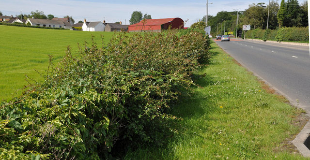
The Lisburn Road, Moira
The road, from the centre of Moira J1560 : Moira - the main street, to the M1 J1661 : M1 Moira (1) and Lisburn. It was rebuilt on a slightly different line at the same time as the building of the motorway.
Loading map... (JavaScript required)
- Grid Square
- J1561, 125 images (more nearby 🔍)
- Photographer
- Albert Bridge (more nearby)
- Date Taken
- Monday, 4 July, 2011 (more nearby)
- Submitted
- Monday, 4 July, 2011
- Subject Location
-
Irish:
 J 154 610 [100m precision]
WGS84: 54:29.0586N 6:13.1373W - Camera Location
-
Irish: J 154 610
- View Direction
- West-southwest (about 247 degrees)