Tan Son Nhat Internaitional Airport
Appearance
(Reguidit frae Tan Son Nhat Airport)
| Tân Sơn Nhất Internaitional Airport [Sân bay Quốc tế Tân Sơn Nhất] error: {{lang}}: text has italic markup (help) | |||||||||||||||
|---|---|---|---|---|---|---|---|---|---|---|---|---|---|---|---|
 | |||||||||||||||
| Summary | |||||||||||||||
| Airport teep | Public | ||||||||||||||
| Awner | Vietnamese govrenment | ||||||||||||||
| Operator | Airports Corporation o Vietnam | ||||||||||||||
| Serves | Ho Chi Minh Ceety, Vietnam | ||||||||||||||
| Location | Tan Binh Destrict | ||||||||||||||
| Hub for | |||||||||||||||
| Elevation AMSL | 10 m / 33 ft | ||||||||||||||
| Coordinates | 10°49′08″N 106°39′07″E / 10.81889°N 106.65194°ECoordinates: 10°49′08″N 106°39′07″E / 10.81889°N 106.65194°E | ||||||||||||||
| Wabsteid | Airports Corporation o Vietnam | ||||||||||||||
| Map | |||||||||||||||
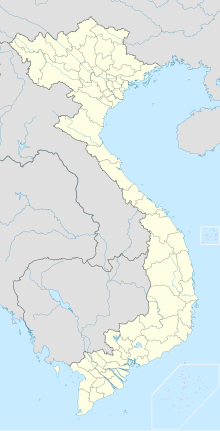
| Location o the airport in Vietnam | |||||||||||||||
| Runways | |||||||||||||||
| |||||||||||||||
| Statistics (2013) | |||||||||||||||
| |||||||||||||||
Tan Son Nhat Airport is an airport in Ho Chi Minh Ceety, Vietnam, 1730 km sooth Hanoi, 6 km north Ho Chi Minh Ceety. It haes runway 3800 m x 45 m. Ho Chi Minh ceiti haes the thrangest airport in Vietnam.
References
[eedit | eedit soorce]- ↑ "Cảng HKQT TSN đón nhận danh hiệu đơn vị đứng đầu trong ngành GTVT năm 2013". Airports Corporation of Vietnam. Archived frae the original on 12 Mairch 2016. Retrieved 30 Apryle 2014.
- ↑ Airport information for SGN at Great Circle Mapper.
- ↑ Airport information for Tân Sơn Nhất Internaitional Airport at Search (for) Travel website.
| Wikimedia Commons haes media relatit tae Tan Son Nhat International Airport. |
