Shiradwad
Tools
Actions
General
Print/export
In other projects
Appearance
From Wikipedia, the free encyclopedia
The printable version is no longer supported and may have rendering errors. Please update your browser bookmarks and please use the default browser print function instead.
This article does not cite any sources. Please help improve this article by adding citations to reliable sources. Unsourced material may be challenged and removed. Find sources: "Shiradwad" – news · newspapers · books · scholar · JSTOR (October 2024) (Learn how and when to remove this message) |
Village in Karnataka, India
Shiradwad | |
|---|---|
Village | |
| Coordinates: 16°34′24″N 74°29′03″E / 16.5733°N 74.4841°E / 16.5733; 74.4841 | |
| Country | |
| State | Karnataka |
| District | Belgaum |
| Taluka | Nippani |
| Marathi | |
| • Official | Kannada |
| Time zone | UTC+5:30 (IST) |
| 591214 | 591214 |
| Vehicle registration | KA 23 |
| Nearest cities | Ichalakaranji, Kolhapur, Sangli. |
| Lok Sabha constituency | Chikodi |
| Sitting MP | Mr.Annasaheb Shankar Jolle |
| Vidhan Sabha constituency | Nipani |
| Sitting MLA | Mrs.Shashikala Jolle |
| 'Satyamev Jayate' | |
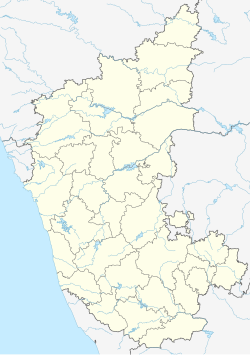
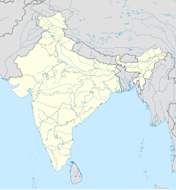
Shiradwad is a village in Belgaum district of Karnataka on the bank of Dudhaganga River. The population is around 3000 with Marathi being the main spoken language followed by Kannada.
This article related to a location in Chikodi taluk, Belgaum district, Karnataka, India is a stub. You can help Wikipedia by expanding it. |
Hidden categories:
- Pages using gadget WikiMiniAtlas
- Articles lacking sources from October 2024
- All articles lacking sources
- Use dmy dates from September 2015
- Use Indian English from September 2015
- All Wikipedia articles written in Indian English
- Articles with short description
- Short description matches Wikidata
- Coordinates on Wikidata
- All stub articles

