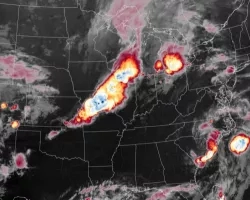
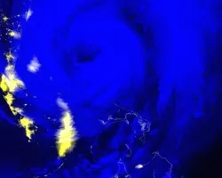
Severe thunderstorms can start wildfires, injure people on the ground, damage electrical infrastructure and cause power outages. They can bring heavy rains, dangerous lightning, large hail, damaging winds and tornadoes.
We can observe the impact of severe weather through a variety of NASA remote sensing systems with hazard monitoring, assessment and recovery products. For instance, we can use the Global Precipitation Measurement (GPM) mission to map thunderstorm cores and areas of heavy precipitation through the Integrated Multi-Satellite Retrievals for GPM (IMERG) dataset. When heavy rains persist over time, precipitation estimates from IMERG can be combined with streamflow and inundation models to assist end users with predicting the likelihood and extent of river flooding.
To validate these models and assist with flood mapping, we can map flood water extent using measurements from NASA’s Moderate Resolution Imaging Spectroradiometer (MODIS) instrument aboard the Terra and Aqua satellites, the Visible Infrared Imaging Radiometer Suite (VIIRS) instrument aboard the NASA/NOAA Suomi National Polar-orbiting Partnership (NPP) satellite and the multispectral imagers aboard the Landsat-7 and Landsat-8 missions.
Active remote sensing and data from other international partners can be used to map flood water through cloudy scenes that occur with heavy rainfall events. Damage to the land surface can also be observed from these sensors. Where this damage is especially severe, NASA and partner agencies can map long-term recovery over subsequent years.


